
帕里镇 ཕག་ར topographic map
Interactive map
Click on the map to display elevation.
About this map
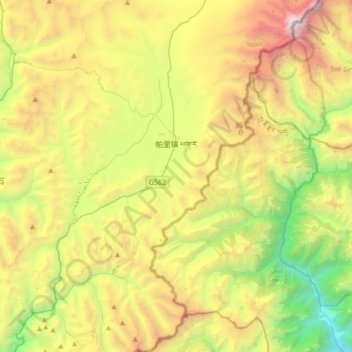
Name: 帕里镇 ཕག་ར topographic map, elevation, terrain.
Location: 帕里镇 ཕག་ར, 亚东县 གྲོ་མོ་རྫོང།, Shigatse, Tibet, China (27.54212 89.01357 27.84651 89.26819)
Average elevation: 4,478 m
Minimum elevation: 2,579 m
Maximum elevation: 7,291 m