
Mount Dillon topographic map
Click on the map to display elevation.
About this map
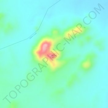
Name: Mount Dillon topographic map, elevation, terrain.
Location: Mount Dillon, Whitsunday Regional, Queensland, Australia (-20.01462 147.61758 -20.01452 147.61768)
Average elevation: 104 m
Minimum elevation: 65 m
Maximum elevation: 242 m
Other topographic maps
Click on a map to view its topography, its elevation and its terrain.
Warwick
Warwick experiences an altitude-influenced humid subtropical climate (Köppen: Cfa), with very warm summers and mild, relatively dry winters with cold nights. Annual precipitation averages 662.4 millimetres (26.08 in), with a summer maximum. The town is slightly cooler and less humid than the proximate…
Average elevation: 474 m
Sunshine Coast Regional
The Sunshine Coast Regional area in Queensland, Australia, features a diverse topography that ranges from coastal plains to rugged hinterlands. Along the coastline, the terrain is predominantly flat, with average elevations around 20 meters (66 feet) above sea level. Inland, the landscape transitions to…
Average elevation: 56 m