
Klinkenberg topographic map
Interactive map
Click on the map to display elevation.
About this map
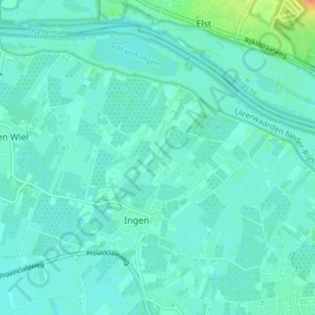
Name: Klinkenberg topographic map, elevation, terrain.
Average elevation: 7 m
Minimum elevation: 1 m
Maximum elevation: 36 m
Other topographic maps
Click on a map to view its topography, its elevation and its terrain.
Zevenmorgen
Nederland > Gelderland > Ingen
Zevenmorgen, Ingen, Buren, Gelderland, Nederland, 4031 KS, Nederland
Average elevation: 7 m