
Thank you for supporting this site ❤️
Make a donation
Make a donation
Gear up for your next adventure:
As an Amazon Associate, this site earns from qualifying purchases at no extra cost to you.
May-it topographic map
Click on the map to display elevation.
Thank you for supporting this site ❤️
Make a donation
Make a donation
Gear up for your next adventure:
As an Amazon Associate, this site earns from qualifying purchases at no extra cost to you.
About this map
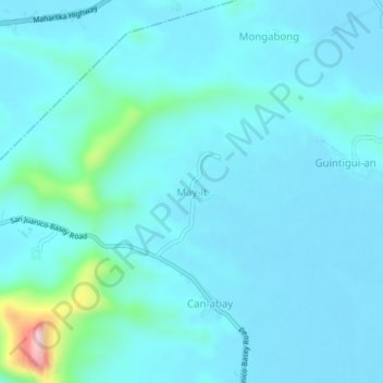
Name: May-it topographic map, elevation, terrain.
Location: May-it, Basey, Samar, Eastern Visayas, Philippines (11.28809 124.99526 11.32809 125.03526)
Average elevation: 36 m
Minimum elevation: 1 m
Maximum elevation: 318 m
Thank you for supporting this site ❤️
Make a donation
Make a donation
Gear up for your next adventure:
As an Amazon Associate, this site earns from qualifying purchases at no extra cost to you.