

Eschborn topographic map
Click on the map to display elevation.
Eschborn
Eschborn provides expansive views of the Taunus mountain ranges, especially the 'Altkönig' and behind it the 'Feldberg' up to elevations of around 880 m above sealevel. From Eschborn to the north there are numerous hiking and biking trails leading up to these green mountain zones. In winter, along and up those hills you will even find cross country skiing slopes as well as downhill sled runs used by large crowds of people, esp. on weekends.
About this map
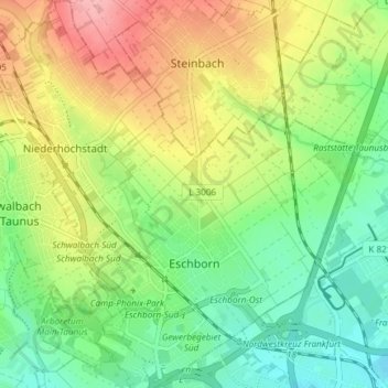
Name: Eschborn topographic map, elevation, terrain.
Location: Eschborn, Main-Taunus-Kreis, Hesse, 65760, Germany (50.12731 8.53157 50.17496 8.60273)
Average elevation: 146 m
Minimum elevation: 101 m
Maximum elevation: 212 m