
Thank you for supporting this site ❤️
Make a donation
Make a donation
Gear up for your next adventure:
As an Amazon Associate, this site earns from qualifying purchases at no extra cost to you.
Malanyusancun topographic map
Click on the map to display elevation.
Thank you for supporting this site ❤️
Make a donation
Make a donation
Gear up for your next adventure:
As an Amazon Associate, this site earns from qualifying purchases at no extra cost to you.
About this map
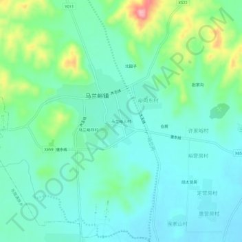
Name: Malanyusancun topographic map, elevation, terrain.
Location: Malanyusancun, Zunhua City, Tangshan City, Hebei, China (40.16456 117.67907 40.20456 117.71907)
Average elevation: 103 m
Minimum elevation: 68 m
Maximum elevation: 211 m
Thank you for supporting this site ❤️
Make a donation
Make a donation
Gear up for your next adventure:
As an Amazon Associate, this site earns from qualifying purchases at no extra cost to you.