
Thank you for supporting this site ❤️
Make a donation
Make a donation
Gear up for your next adventure:
As an Amazon Associate, this site earns from qualifying purchases at no extra cost to you.
Panalsalan topographic map
Click on the map to display elevation.
Thank you for supporting this site ❤️
Make a donation
Make a donation
Gear up for your next adventure:
As an Amazon Associate, this site earns from qualifying purchases at no extra cost to you.
About this map
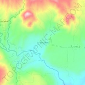
Name: Panalsalan topographic map, elevation, terrain.
Location: Panalsalan, Maramag, Bukidnon, Northern Mindanao, Philippines (7.84083 124.95713 7.88083 124.99713)
Average elevation: 607 m
Minimum elevation: 480 m
Maximum elevation: 824 m
Thank you for supporting this site ❤️
Make a donation
Make a donation
Gear up for your next adventure:
As an Amazon Associate, this site earns from qualifying purchases at no extra cost to you.