
Dodge topographic map
Click on the map to display elevation.
About this map
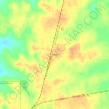
Name: Dodge topographic map, elevation, terrain.
Location: Dodge, Walker County, Texas, 77334, United States (30.72547 -95.41800 30.76547 -95.37800)
Average elevation: 115 m
Minimum elevation: 91 m
Maximum elevation: 129 m
Other topographic maps
Click on a map to view its topography, its elevation and its terrain.