
Sanafir Island topographic map
Interactive map
Click on the map to display elevation.
About this map
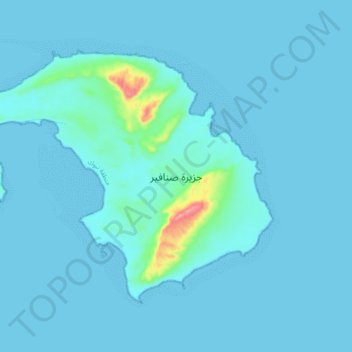
Name: Sanafir Island topographic map, elevation, terrain.
Location: Sanafir Island, قيال, Tabuk Region, Saudi Arabia (27.90317 34.65193 27.95913 34.73993)
Average elevation: 7 m
Minimum elevation: 0 m
Maximum elevation: 106 m