
Notter topographic map
Interactive map
Click on the map to display elevation.
About this map
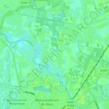
Name: Notter topographic map, elevation, terrain.
Location: Notter, Wierden, Overijssel, Niederlande, 7467 PL, Niederlande (52.31528 6.50095 52.35528 6.54095)
Average elevation: 11 m
Minimum elevation: 6 m
Maximum elevation: 14 m
Other topographic maps
Click on a map to view its topography, its elevation and its terrain.