
Laane küla topographic map
Interactive map
Click on the map to display elevation.
About this map
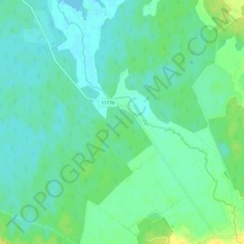
Name: Laane küla topographic map, elevation, terrain.
Location: Laane küla, Lääne-Harju vald, Harju maakond, 76008, Estonia (59.22674 24.06507 59.27281 24.14221)
Average elevation: 6 m
Minimum elevation: 0 m
Maximum elevation: 20 m
Other topographic maps
Click on a map to view its topography, its elevation and its terrain.
Padise
Padise, Padise küla, Lääne-Harju vald, Harju maakond, 76001, Estonia
Average elevation: 17 m