
Cornell topographic map
Click on the map to display elevation.
About this map
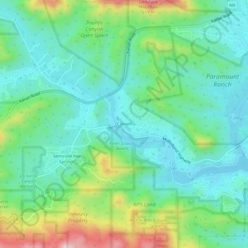
Name: Cornell topographic map, elevation, terrain.
Average elevation: 333 m
Minimum elevation: 220 m
Maximum elevation: 638 m
Other topographic maps
Click on a map to view its topography, its elevation and its terrain.
Santa Monica Mountains
United States > California > Los Angeles County > Unincorporated Santa Monica Mountains
On January 17, 2007, an unusually cold storm brought snow in the Santa Monica Mountains. The hills above Malibu picked up three inches (eight centimeters) of snow - the first measurable snow in fifty years. Snow was reported on Boney Peak in the winter of 2005; and in March 2006, snow also fell on the summit…
Average elevation: 304 m
Malibu Creek State Park
United States > California > Los Angeles County > Unincorporated Santa Monica Mountains
Average elevation: 277 m
Malibu Creek State Park
United States > California > Los Angeles County > Unincorporated Santa Monica Mountains
Average elevation: 277 m