
Thank you for supporting this site ❤️
Make a donation
Make a donation
Gear up for your next adventure:
As an Amazon Associate, this site earns from qualifying purchases at no extra cost to you.
Seirós topographic map
Click on the map to display elevation.
Thank you for supporting this site ❤️
Make a donation
Make a donation
Gear up for your next adventure:
As an Amazon Associate, this site earns from qualifying purchases at no extra cost to you.
About this map
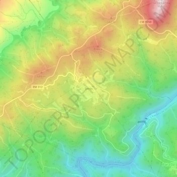
Name: Seirós topographic map, elevation, terrain.
Location: Seirós, Canedo, Ribeira de Pena, Vila Real, Portugal (41.56162 -7.76798 41.60162 -7.72798)
Average elevation: 499 m
Minimum elevation: 221 m
Maximum elevation: 881 m
Thank you for supporting this site ❤️
Make a donation
Make a donation
Gear up for your next adventure:
As an Amazon Associate, this site earns from qualifying purchases at no extra cost to you.