
Ewing topographic map
Interactive map
Click on the map to display elevation.
About this map
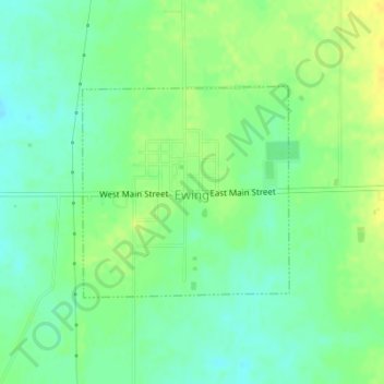
Name: Ewing topographic map, elevation, terrain.
Location: Ewing, Franklin County, Illinois, United States (38.08139 -88.86208 38.09628 -88.84357)
Average elevation: 144 m
Minimum elevation: 133 m
Maximum elevation: 155 m