
Make a donation
Gear up for your next adventure:
As an Amazon Associate, this site earns from qualifying purchases at no extra cost to you.
Pertusa topographic map
Click on the map to display elevation.
Make a donation
Gear up for your next adventure:
As an Amazon Associate, this site earns from qualifying purchases at no extra cost to you.
About this map
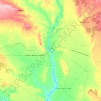
Name: Pertusa topographic map, elevation, terrain.
Average elevation: 420 m
Minimum elevation: 328 m
Maximum elevation: 527 m
Make a donation
Gear up for your next adventure:
As an Amazon Associate, this site earns from qualifying purchases at no extra cost to you.
Other topographic maps
Click on a map to view its topography, its elevation and its terrain.
Marcuello
Spain > Aragon > Hoya de Huesca / Plana de Uesca > Loarre > Linás de Marcuello
Average elevation: 863 m
Vitales
Spain > Aragon > Hoya de Huesca / Plana de Uesca > Monflorite-Lascasas
Average elevation: 492 m
Make a donation
Gear up for your next adventure:
As an Amazon Associate, this site earns from qualifying purchases at no extra cost to you.
Riglos
Spain > Aragon > Hoya de Huesca / Plana de Uesca > Las Peñas de Riglos
Average elevation: 726 m