
Totnes topographic map
Interactive map
Click on the map to display elevation.
About this map
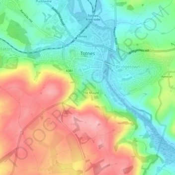
Name: Totnes topographic map, elevation, terrain.
Location: Totnes, South Hams, Devon, Angleterre, Royaume-Uni (50.41201 -3.71522 50.44066 -3.66777)
Average elevation: 66 m
Minimum elevation: -4 m
Maximum elevation: 156 m
Other topographic maps
Click on a map to view its topography, its elevation and its terrain.
Dartmouth
Royaume-Uni > Angleterre > Devon > South Hams > Dartmouth
Dartmouth, South Hams, Devon, Angleterre, Royaume-Uni
Average elevation: 71 m