
安国 topographic map
Interactive map
Click on the map to display elevation.
About this map
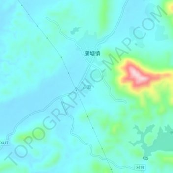
Name: 安国 topographic map, elevation, terrain.
Location: 安国, 兴业县, 玉林市, 广西壮族自治区, 543000, 中国 (22.87910 109.94200 22.91910 109.98200)
Average elevation: 118 m
Minimum elevation: 79 m
Maximum elevation: 341 m