

Aptos topographic map
Click on the map to display elevation.
Aptos
On March 16–20, 1905, the Leonard Ranch near La Selva was the site of experiments with a new tandem-wing glider designed and built by John J. Montgomery. Hoisted aloft by hot-air balloon to considerable heights, over a series of test flights pilot Daniel J. Maloney was able to demonstrate the control and flight of the Montgomery glider design. These flights, with starting altitudes over 3,000 feet above the ground, were the first high-altitude flights in the world. A marker was placed at this location in 2005 honoring the centennial of these accomplishments.
About this map
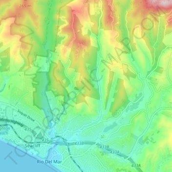
Name: Aptos topographic map, elevation, terrain.
Average elevation: 114 m
Minimum elevation: 0 m
Maximum elevation: 346 m