
Longino topographic map
Interactive map
Click on the map to display elevation.
About this map
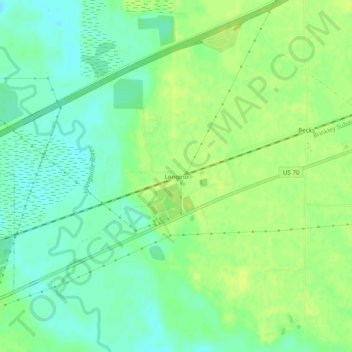
Name: Longino topographic map, elevation, terrain.
Location: Longino, St. Francis County, Arkansas, Stati Uniti d'America (34.96287 -90.89067 35.00287 -90.85067)
Average elevation: 63 m
Minimum elevation: 53 m
Maximum elevation: 71 m