
Entre Ríos topographic map
Interactive map
Click on the map to display elevation.
About this map
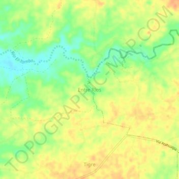
Name: Entre Ríos topographic map, elevation, terrain.
Location: Entre Ríos, Santa Elena, 240209, Equador (-2.32000 -80.83667 -2.28000 -80.79667)
Average elevation: 42 m
Minimum elevation: 20 m
Maximum elevation: 57 m