
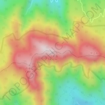
万三郎岳 topographic map
Interactive map
Click on the map to display elevation.
About this map
Name: 万三郎岳 topographic map, elevation, terrain.
Location: 万三郎岳, 東伊豆町, 賀茂郡, 静冈县/靜岡縣, 410-2507, 日本 (34.86275 139.00180 34.86285 139.00190)
Average elevation: 1,078 m
Minimum elevation: 755 m
Maximum elevation: 1,378 m