
Lehi topographic map
Interactive map
Click on the map to display elevation.
About this map
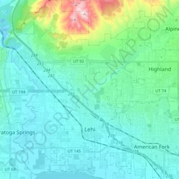
Name: Lehi topographic map, elevation, terrain.
Location: Lehi, Utah County, Utah, 84043, Stati Uniti d'America (40.35595 -111.94498 40.47174 -111.81700)
Average elevation: 1,465 m
Minimum elevation: 1,358 m
Maximum elevation: 2,029 m