
月光公園 topographic map
Interactive map
Click on the map to display elevation.
About this map
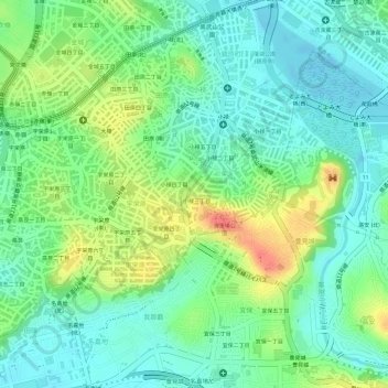
Name: 月光公園 topographic map, elevation, terrain.
Location: 月光公園, 小禄三丁目, 那霸市, 冲绳县 / 沖繩縣, 900-8585, 日本 (26.18807 127.67363 26.18882 127.67422)
Average elevation: 23 m
Minimum elevation: -3 m
Maximum elevation: 61 m