
海鲜坝河 topographic map
Interactive map
Click on the map to display elevation.
About this map
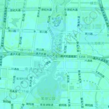
Name: 海鲜坝河 topographic map, elevation, terrain.
Location: 海鲜坝河, 南通创新区, 观音山街道, 崇川区, 南通市, 江苏省, 226000, 中国 (31.97329 120.93439 31.97472 120.93481)
Average elevation: 4 m
Minimum elevation: 2 m
Maximum elevation: 6 m
Other topographic maps
Click on a map to view its topography, its elevation and its terrain.