
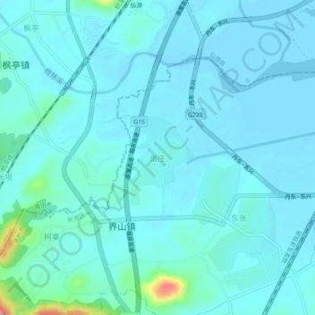
南庄 topographic map
Interactive map
Click on the map to display elevation.
About this map
Name: 南庄 topographic map, elevation, terrain.
Location: 南庄, Quángăng Qū, Quanzhou, Fujian, China (25.21297 118.84967 25.25297 118.88967)
Average elevation: 15 m
Minimum elevation: -1 m
Maximum elevation: 137 m
Other topographic maps
Click on a map to view its topography, its elevation and its terrain.