
Falkenberg/Elster topographic map
Interactive map
Click on the map to display elevation.
About this map
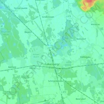
Name: Falkenberg/Elster topographic map, elevation, terrain.
Location: Falkenberg/Elster, Elbe-Elster, Brandenburg, 04895, Germany (51.54615 13.14141 51.65517 13.29227)
Average elevation: 86 m
Minimum elevation: 78 m
Maximum elevation: 123 m