Geolocate

Red Oak topographic map

Click on the map to display elevation.

About this map

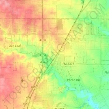
Name: Red Oak topographic map, elevation, terrain.

Location: Red Oak, Ellis County, Texas, 75154, United States (32.47569 -96.83967 32.54723 -96.71251)

Average elevation: 181 m

Minimum elevation: 141 m

Maximum elevation: 220 m

Other topographic maps

Click on a map to view its topography, its elevation and its terrain.

Alsdorf

United States > Texas > Ellis County

Average elevation: 119 m

Bristol

United States > Texas > Ellis County

Average elevation: 139 m

Gear up for your next adventure:

🧿Weather Radios - Track weather in remote places
🧯Compact Fire Extinguishers - Safety for campervans and expedition vehicles
🧭Route Planning Books - Plan the best hiking routes
🚲Cycling GPS Computers - Topographic mapping for Irish road and mountain biking
🥛Insulated Flasks - Keep drinks hot or cold

As an Amazon Associate, this site earns from qualifying purchases at no extra cost to you.