
Heerenveen topographic map
Interactive map
Click on the map to display elevation.
About this map
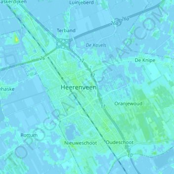
Name: Heerenveen topographic map, elevation, terrain.
Location: Heerenveen, Friesland, Netherlands (52.91973 5.86722 52.99377 5.97282)
Average elevation: 1 m
Minimum elevation: -5 m
Maximum elevation: 13 m