L'Usine Du Pont topographic map
Interactive map
Click on the map to display elevation.
About this map
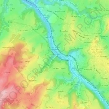
Name: L'Usine Du Pont topographic map, elevation, terrain.
Average elevation: 330 m
Minimum elevation: 248 m
Maximum elevation: 434 m

Click on the map to display elevation.
Name: L'Usine Du Pont topographic map, elevation, terrain.
Average elevation: 330 m
Minimum elevation: 248 m
Maximum elevation: 434 m