
Termonfeckin topographic map
Interactive map
Click on the map to display elevation.
About this map
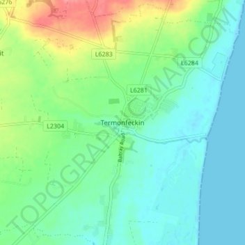
Name: Termonfeckin topographic map, elevation, terrain.
Location: Termonfeckin, County Louth, Leinster, Ireland (53.74152 -6.29140 53.78152 -6.25140)
Average elevation: 21 m
Minimum elevation: -3 m
Maximum elevation: 73 m