
Platte County topographic map
Interactive map
Click on the map to display elevation.
About this map
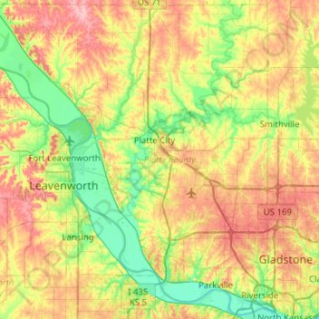
Name: Platte County topographic map, elevation, terrain.
Location: Platte County, Missouri, United States of America (39.15309 -95.10334 39.53349 -94.60077)
Average elevation: 276 m
Minimum elevation: 221 m
Maximum elevation: 359 m
Other topographic maps
Click on a map to view its topography, its elevation and its terrain.
Scotsdale
United States of America > Missouri > Scotsdale
Scotsdale, Jefferson County, Missouri, United States of America
Average elevation: 196 m
Saint Louis County
United States of America > Missouri
Saint Louis County, Missouri, United States of America
Average elevation: 166 m