
Las Armas topographic map
Interactive map
Click on the map to display elevation.
About this map
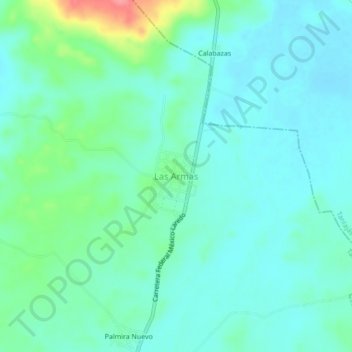
Name: Las Armas topographic map, elevation, terrain.
Location: Las Armas, Tancanhuitz, San Luis Potosí, México (21.67688 -98.98672 21.71688 -98.94672)
Average elevation: 55 m
Minimum elevation: 37 m
Maximum elevation: 122 m
Other topographic maps
Click on a map to view its topography, its elevation and its terrain.
Las Armas
México > San Luis Potosí > Las Armas
Las Armas, Tancanhuitz, San Luis Potosí, México
Average elevation: 54 m