
Sengarai topographic map
Interactive map
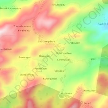
Click on the map to display elevation.
About this map
Name: Sengarai topographic map, elevation, terrain.
Average elevation: 1,060 m
Minimum elevation: 773 m
Maximum elevation: 1,293 m
Other topographic maps
Click on a map to view its topography, its elevation and its terrain.
Solakkadu
India > Tamil Nadu > KOLLI HILLS > Solakkadu
Solakkadu, KOLLI HILLS, Namakkal District, Tamil Nadu, India
Average elevation: 1,066 m
Semmedu
India > Tamil Nadu > KOLLI HILLS > Semmedu
Semmedu, KOLLI HILLS, Namakkal District, Tamil Nadu, India
Average elevation: 1,085 m