
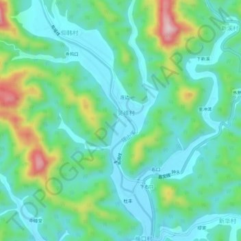
下鲁村 topographic map
Interactive map
Click on the map to display elevation.
About this map
Name: 下鲁村 topographic map, elevation, terrain.
Location: 下鲁村, 临岐镇, 淳安县, 杭州市, 浙江省, 中国 (29.86402 119.10170 29.90402 119.14170)
Average elevation: 194 m
Minimum elevation: 114 m
Maximum elevation: 430 m
Other topographic maps
Click on a map to view its topography, its elevation and its terrain.