
Mosley topographic map
Interactive map
Click on the map to display elevation.
About this map
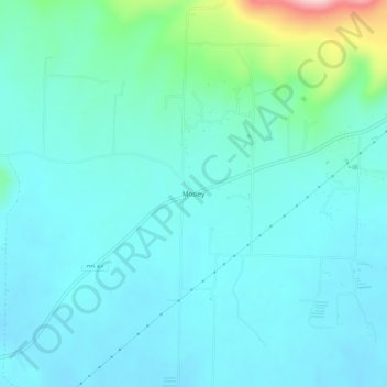
Name: Mosley topographic map, elevation, terrain.
Location: Mosley, Yell County, Arkansas, Stati Uniti d'America (35.16120 -93.27185 35.20120 -93.23185)
Average elevation: 155 m
Minimum elevation: 115 m
Maximum elevation: 365 m