
Make a donation
Gear up for your next adventure:
As an Amazon Associate, this site earns from qualifying purchases at no extra cost to you.
Selydove topographic map
Click on the map to display elevation.
Make a donation
Gear up for your next adventure:
As an Amazon Associate, this site earns from qualifying purchases at no extra cost to you.
Selydove
In 1987, a second monument made by Pavlo Heveke was erected on the bank of the Solonaya River: On the elevation in the shape of a Cossack grave, sculptural figures of three Cossacks are depicted. In the middle, a Cossack leaning on an oar listens to his comrades playing the bandura. He is also listened to by the third Cossack, who, half-lying, leaned on the hilt of the saber.
Make a donation
Gear up for your next adventure:
As an Amazon Associate, this site earns from qualifying purchases at no extra cost to you.
About this map
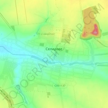
Name: Selydove topographic map, elevation, terrain.
Average elevation: 185 m
Minimum elevation: 148 m
Maximum elevation: 249 m
Make a donation
Gear up for your next adventure:
As an Amazon Associate, this site earns from qualifying purchases at no extra cost to you.