
Thank you for supporting this site ❤️
Make a donation
Make a donation
Gear up for your next adventure:
As an Amazon Associate, this site earns from qualifying purchases at no extra cost to you.
Jambhore topographic map
Click on the map to display elevation.
Thank you for supporting this site ❤️
Make a donation
Make a donation
Gear up for your next adventure:
As an Amazon Associate, this site earns from qualifying purchases at no extra cost to you.
About this map
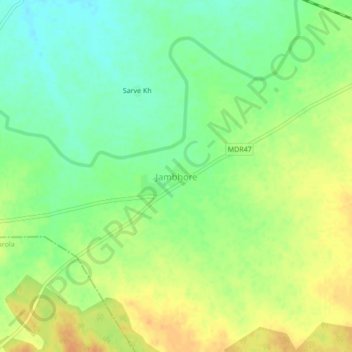
Name: Jambhore topographic map, elevation, terrain.
Location: Jambhore, Dharangaon, Jalgaon District, Maharashtra, India (20.97213 75.21064 21.01213 75.25064)
Average elevation: 211 m
Minimum elevation: 194 m
Maximum elevation: 227 m
Thank you for supporting this site ❤️
Make a donation
Make a donation
Gear up for your next adventure:
As an Amazon Associate, this site earns from qualifying purchases at no extra cost to you.