Geolocate

Elmstone topographic map

Click on the map to display elevation.

About this map

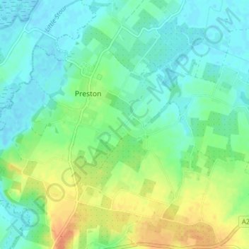
Name: Elmstone topographic map, elevation, terrain.

Location: Elmstone, Preston, Dover, Kent, England, CT3 1HE, United Kingdom (51.27850 1.21675 51.31850 1.25675)

Average elevation: 13 m

Minimum elevation: -2 m

Maximum elevation: 37 m

Gear up for your next adventure:

🔋Portable Power Banks - Keep devices charged on long trips
🌦️Weatherproof Outdoor Gear - Protection from unpredictable weather
Ultralight Hiking Tents - Compact shelters for multi-day wild camping in Ireland
🦺Outdoor Safety Vests - Increase visibility and safety
🔋Solar Power Banks - Keep your GPS and phone charged in the Irish wilderness

As an Amazon Associate, this site earns from qualifying purchases at no extra cost to you.