
Feeder topographic map
Interactive map
Click on the map to display elevation.
About this map
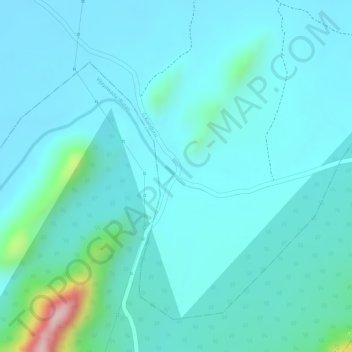
Name: Feeder topographic map, elevation, terrain.
Location: Feeder, G.Konduru, Krishna, Andhra Pradesh, India (16.69666 80.68129 16.69673 80.68135)
Average elevation: 93 m
Minimum elevation: 53 m
Maximum elevation: 326 m
Other topographic maps
Click on a map to view its topography, its elevation and its terrain.
Kurnool
India > Andhra Pradesh > Kurnool
Kurnool, Andhra Pradesh, 518001, India
Average elevation: 307 m
Nellore
India > Andhra Pradesh > Nellore
Nellore, Sri Potti Sriramulu Nellore, Andhra Pradesh, 524001, India
Average elevation: 17 m