
Kuytun River topographic map
Interactive map
Click on the map to display elevation.
About this map
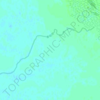
Name: Kuytun River topographic map, elevation, terrain.
Location: Kuytun River, Jinghe County, Bortala, Xinjiang, China (44.82213 83.23233 44.83453 83.26397)
Average elevation: 199 m
Minimum elevation: 196 m
Maximum elevation: 203 m