
Nanguan District topographic map
Interactive map
Click on the map to display elevation.
About this map
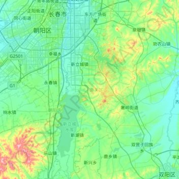
Name: Nanguan District topographic map, elevation, terrain.
Location: Nanguan District, Changchun City, Jilin, 130000, China (43.51166 125.25357 43.91401 125.57165)
Average elevation: 241 m
Minimum elevation: 191 m
Maximum elevation: 493 m