
El Chuveje topographic map
Interactive map
Click on the map to display elevation.
About this map
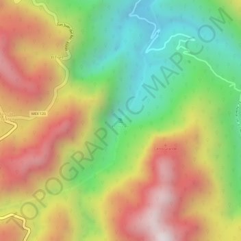
Name: El Chuveje topographic map, elevation, terrain.
Location: El Chuveje, Pinal de Amoles, Querétaro, México (21.16200 -99.56104 21.16210 -99.56094)
Average elevation: 1,679 m
Minimum elevation: 1,267 m
Maximum elevation: 2,084 m
Other topographic maps
Click on a map to view its topography, its elevation and its terrain.
Agua Fria de Gudiño
México > Querétaro > Pinal de Amoles
Agua Fria de Gudiño, Pinal de Amoles, Querétaro, México
Average elevation: 1,780 m
La Gallina
México > Querétaro > Pinal de Amoles
La Gallina, Pinal de Amoles, Querétaro, México
Average elevation: 2,141 m