
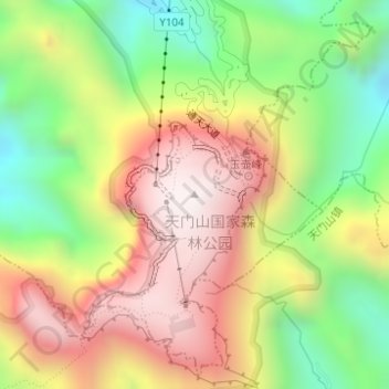
天门山 topographic map
Interactive map
Click on the map to display elevation.
About this map
Name: 天门山 topographic map, elevation, terrain.
Location: 天门山, Yongding, Zhangjiajie, Hunan, China (29.04983 110.47884 29.04993 110.47894)
Average elevation: 935 m
Minimum elevation: 441 m
Maximum elevation: 1,433 m