
Firozabad topographic map
Interactive map
Click on the map to display elevation.
About this map
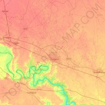
Name: Firozabad topographic map, elevation, terrain.
Location: Firozabad, Uttar Pradesh, India (26.98087 78.29699 27.37415 78.52620)
Average elevation: 163 m
Minimum elevation: 131 m
Maximum elevation: 174 m