
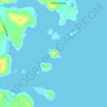
High Island topographic map
Interactive map
Click on the map to display elevation.
About this map
Name: High Island topographic map, elevation, terrain.
Location: High Island, Saint George, Knox County, Maine, United States (43.97028 -69.18648 43.97299 -69.18183)
Average elevation: 2 m
Minimum elevation: -1 m
Maximum elevation: 25 m