
Hain topographic map
Interactive map
Click on the map to display elevation.
About this map
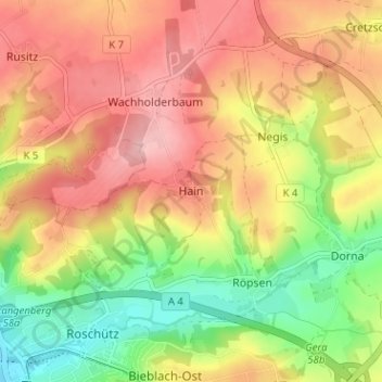
Name: Hain topographic map, elevation, terrain.
Location: Hain, Gera, Thuringia, 07554, Germany (50.90272 12.07956 50.94272 12.11956)
Average elevation: 269 m
Minimum elevation: 190 m
Maximum elevation: 335 m