
Ring topographic map
Interactive map
Click on the map to display elevation.
About this map
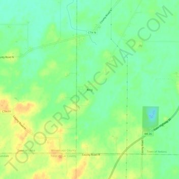
Name: Ring topographic map, elevation, terrain.
Location: Ring, Town of Nekimi, Winnebago County, Wisconsin, USA (43.88915 -88.66039 43.92915 -88.62039)
Average elevation: 266 m
Minimum elevation: 251 m
Maximum elevation: 282 m