Geolocate

Patterson topographic map

Click on the map to display elevation.

About this map
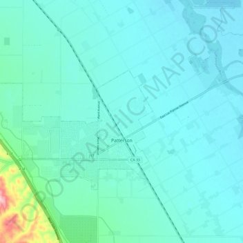
Name: Patterson topographic map, elevation, terrain.

Location: Patterson, Stanislaus County, California, 95363, United States (37.45284 -121.20641 37.50467 -121.08970)

Average elevation: 36 m

Minimum elevation: 9 m

Maximum elevation: 225 m

Other topographic maps

Click on a map to view its topography, its elevation and its terrain.

Aurora

United States > California > Stanislaus County > Modesto

Average elevation: 29 m

Eugene

United States > California > Stanislaus County

Average elevation: 62 m

Denair

United States > California > Stanislaus County

Average elevation: 40 m

Gear up for your next adventure:

🔋Lithium Batteries - Best performance for digital devices in cold weather
🧦Hiking Socks - Comfortable socks to prevent blisters
📚Irish Walking Guides - The best mapped trails in Wicklow, Kerry, and Connemara
🎒Hiking Backpacks - Durable backpacks for day hikes and multi‑day treks
🛶Kayaking & Water Sports Gear - Equip for water adventures

As an Amazon Associate, this site earns from qualifying purchases at no extra cost to you.