Geolocate

Hulbert topographic map

Click on the map to display elevation.

Hulbert

Hulbert is a rural community in western Chippewa County in the Upper Peninsula. The community is located within Hulbert Township about 40 miles (64 km) south of the Tahquamenon Falls. The community sits at an elevation of 751 feet (229 m) above sea level.

Wikipedia (CC-BY-SA 3.0)

About this map

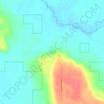
Name: Hulbert topographic map, elevation, terrain.

Location: Hulbert, Hulbert Township, Chippewa County, Michigan, 49748, United States (46.33418 -85.17009 46.37418 -85.13009)

Average elevation: 231 m

Minimum elevation: 213 m

Maximum elevation: 277 m

Gear up for your next adventure:

🏕️Family Camping Sets - Gear packages for family trips
🎒Surveyor High-Vis Vests - Multi-pocket safety vests for field professionals
🪓Camping Axes & Hatchets - Wood cutting tools for campsite prep
💡Hiking Headlamps - Hands‑free lights for night hikes
Solar Multisport Watches - Advanced mapping and GPS tracking for endurance hikers

As an Amazon Associate, this site earns from qualifying purchases at no extra cost to you.