
Bangor topographic map
Interactive map
Click on the map to display elevation.
About this map
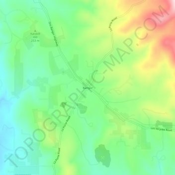
Name: Bangor topographic map, elevation, terrain.
Location: Bangor, Butte County, California, United States of America (39.36850 -121.42524 39.40850 -121.38524)
Average elevation: 247 m
Minimum elevation: 140 m
Maximum elevation: 443 m